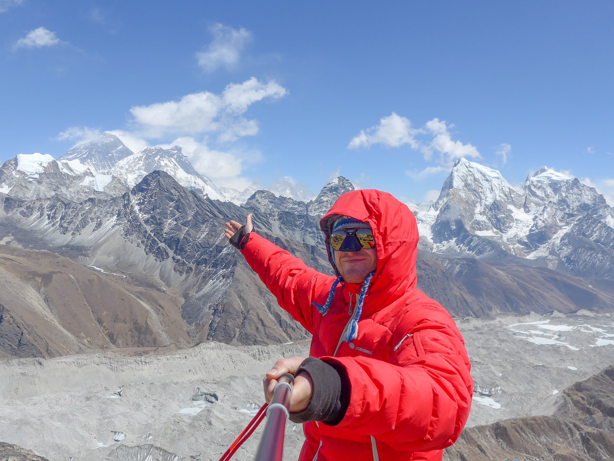
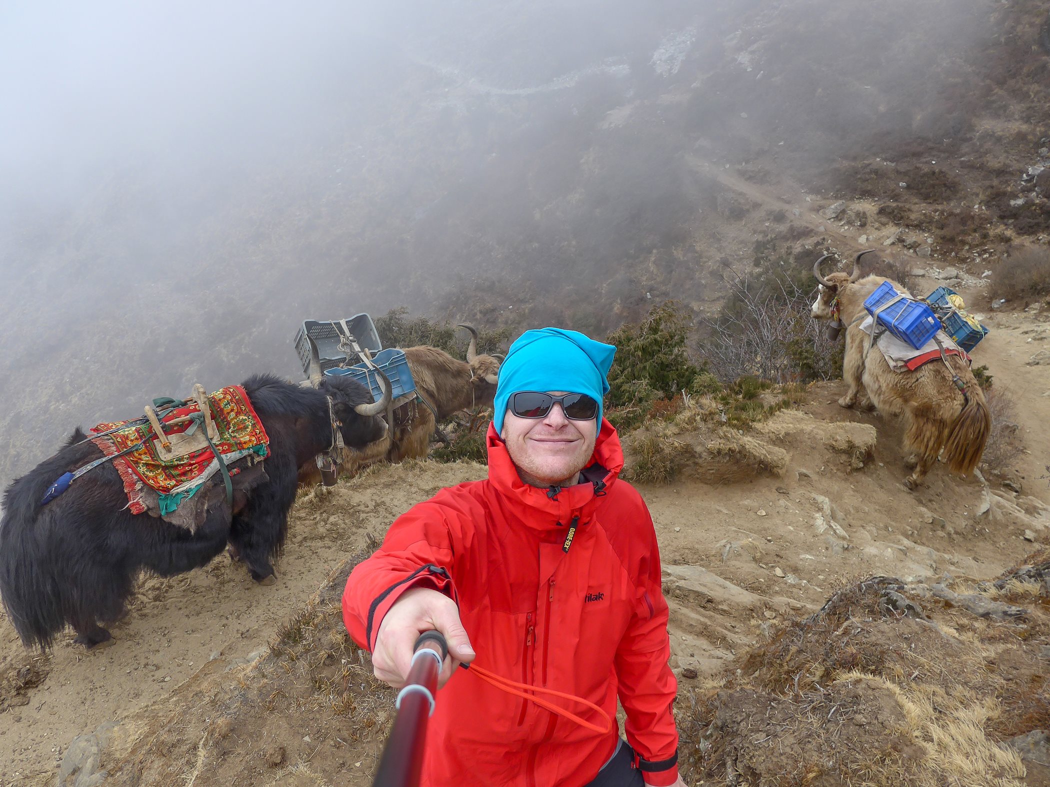
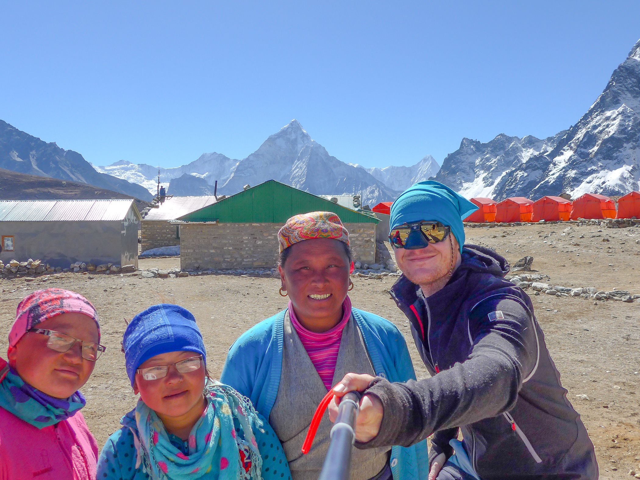
This time I made the decision not to travel alone, so I took a friend of mine with me. I didn’t want to do the classical EBC trek, so my main target was the Gokyo valley and Gokyo Ri. Our plane left Prague on March 12th, so there was one big advantage – our trek started 1 month before the regular trekking season.
Targets
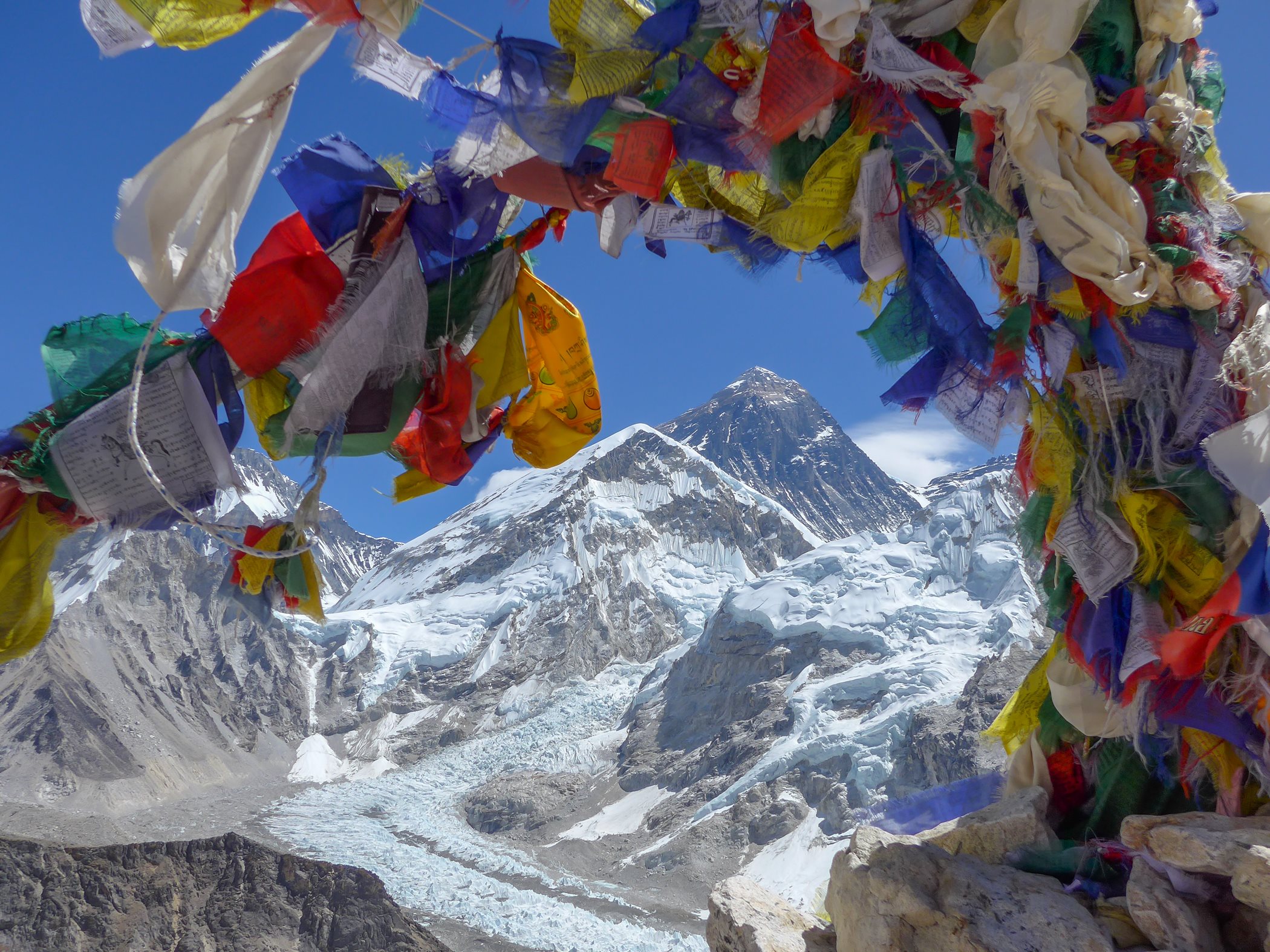
Gokyo Lakes, Gokyo Ri, Cho La Pass, Everest Base Camp, Kala Patthar
Schedule
- Flight Prague – Dubaj-Kathmandu,
- Arrival to Kathmandu.
- Old town of Kathmandu, permits, shopping, Lukla tickets,
- Flight Kathmandu – Lukla. Trek to Phakding – View the Map.
- Phakding – Namche Bazar – View the Map.
- Acclimatization day. Namche Bazar – Thame – Namche Bazar – View the Map. (We went only to Thamo and back)
- Namche Bazar – Phorste Thanga via Mountain View Hotel – View the Map.
- Phortse Thanga – Machherma – View the Map.
- Machherma – Gokyo – View the Map.
- Gokyo – Gokyo Ri – Gokyo – View the Map.
- Gokyo – Ngozumpa Glacier – Thangna – Do not use GPS device – path is different every year – ask local people and follow the path!
- Thangna – Cho La Pass – Dzongla – View the Map.
- Dzongla – Lobuche – View the Map.
- Lobuche – Gorakshep – Everest Base Camp – Gorakshep – View the Map.
- Gorakshep – Kala Patthar – Gorakshep – Lobuche – View the Map.
- Lobuche – Pheriche – Tengboche – View the Map.
- Tengboche – Phunki Thanga – Namche Bazar – View the Map.
- Namche Bazar – Benkar – View the Map.
- Benkar – Lukla – No need GPS, it is road.
- Flight Lukla – Kathmandu
- Shoping day in Kathmandu
- Flight Kathmandu – Dubaj – Prague
Maps and GPS
- Paper maps – it doesn’t make any sense to buy maps in Europe. Every map costs at least 20-30 EUR and usually they are not correct. If you want to buy actual maps, wait till you arrive to Kathmandu. Price of maps is around 350 NPR (3,5 USD). They are usually accurate, but printed on poor quality paper. In KTM you can buy a number of Everest area maps 1:50 000 (EBC trek, Gokyo trek, Three passes trek…)
- Garmin GPS – If you want to use your Garmin GPS device you can buy the official trekking map of Nepal on this site: www.himalayangpsmaps.com. It is not the best GPS map in the world, but better than nothing. You can use it on up to two devices at the same time. These maps can be easily loaded into GPSMAP 64 or 66 series and Garmin Fenix 5x, 6x or 7x as well.
- Android GPS device – If you do not have Garmin, but have got an Android phone, you can use the mobile app www.alpenvereinaktiv.com. You can plan treks on-line, save treks into your device off-line and use on the trek and you can import saved treks into your Garmin GPS via BaseCamp. Great inline/ogg line mapp option is Mapy.cz app.
- Other GPS maps (free) and tools for trek planning.
- GPS coordinates to download (GPX and KLM format)
Himalayas weather in March and April
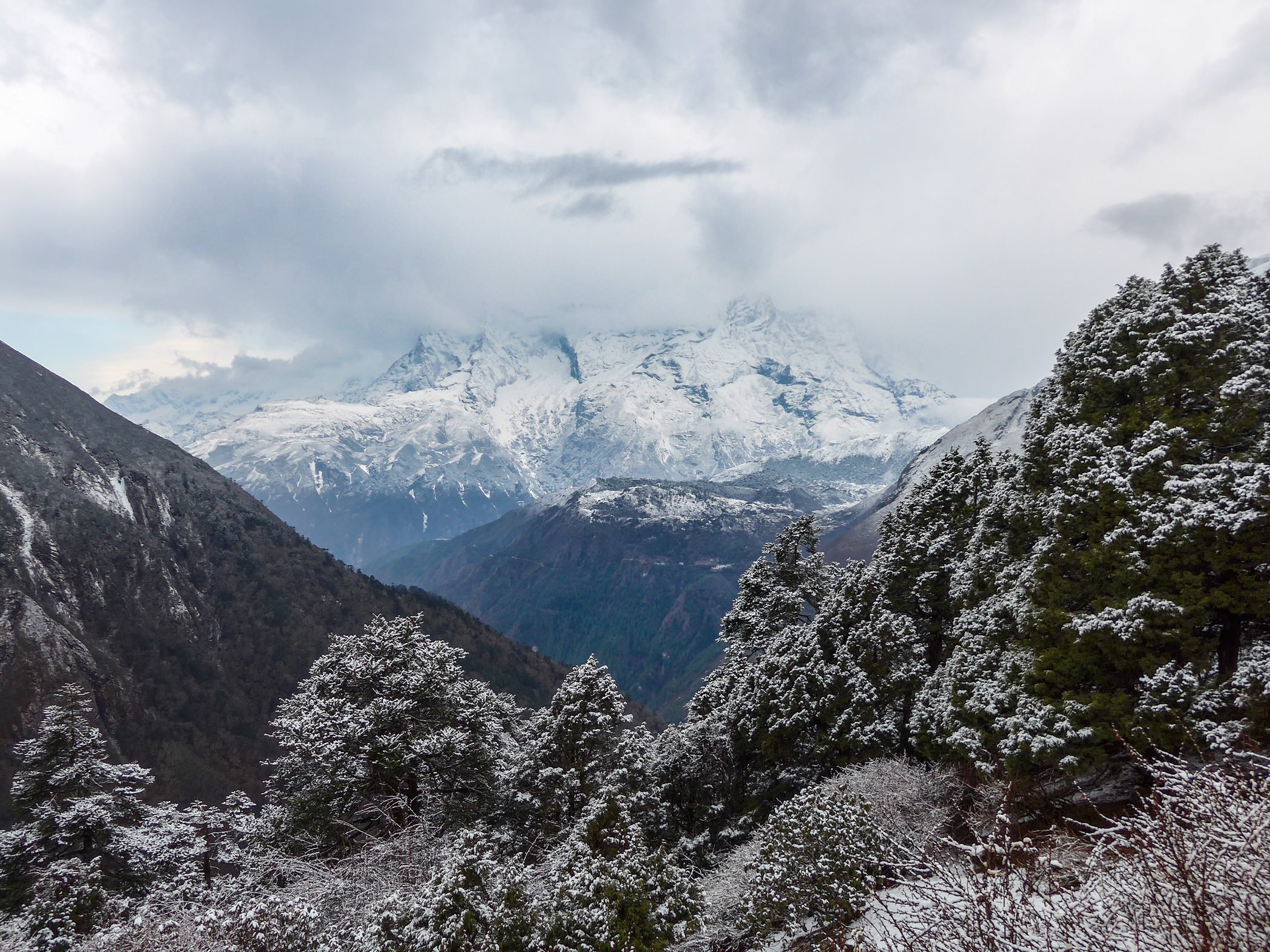
Travelling across the Everest area at the beginning of March is a good choice – there are not so many people like at the beginning of April. You have to count with cold weather. Almost every day it’s the same weather: it starts with a nice sunny morning and becomes cloudy around 2 pm. At 4 pm it usually starts to rain in the lower areas (till Namche Bazar); in higher areas it stays cloudy, even foggy. Well… do your treks in the morning and at 12- 1 pm, you can catch great photos with clouds over the mountain peaks.
Flight tickets and local transports
- Transport in Kathmandu – you will need to get from the airport to the hotel and from the hotel to the airport. Your hotel will usually manage a transport for you as a benefit. Or you can use some of taxi drivers. Before you get into the taxi be sure about the price – negotiate! Transport Airport – Thamel area costs around 500-700 NPR. If you sleep in Thamel, you do not need the taxi for getting to Nepal Tourism Board. You can easily get there on foot.
- Lukla flight tickets – there are several aviatic companies that you can fly with. Tara Air, Yeti Airlines, Budha Air Nepal. All planes are old and dangerous and Lukla airport is the most dangerous airport in the world. You should know it. Anyway… everybody uses those flight connections. Planes fly from the same airport as the international flights, but there is a different terminal from domestic flights. If you want to fly at a specific time on a reliable plane, or if you are just lazy, use my friend Sonam service and contact his company Sherpa Adventures for help.
Permits and fees in Nepal
- Nepal Visa – 40 USD, you will pay for it at the airport in USD currency
- Treking permit (TIMS card) – 20 USD, you will have to pay for it in NPR (they do not accept USD). Change your money at the bank (opening time os 10:00 am). You can use ATM (both VISA and Master Card)
- National park fee – 35 USD, you will have to pay for it in NPR
TIMS card and National park fee you will pay at this place: Nepal Tourism Board, Pradarshani Marg, Kathmandu 44617, Nepal. Do not forget to have a lot of passport photos, at least 8, they want it everywhere (Visa, TIMS, local SIM Card, every permit…)
Where to sleep in Kathmandu
You can sleep everywhere in KTM. There are a lot of hotels and hostels in many standard categories. I can recommend Karma Travelers Home (Hotel Karma) in the Thamel area. Good services, good prices, nice people. If you arrange for the accommodation in advance, they will take you from the airport for free (taxi costs around 600-700 NPR in 2016). Say Hello to Keshab from me when you get there.
Gear
I used my standard mountain equipment. You have to know, that there is snow on the Himalayas mountains… so take your warmer pack of clothes.
Food and water
You can buy food everywhere and anytime. Every two hours you will get to a village or settlement. Take just energy and protein bars, dry meat, sugar or some small essential pack of food. All food you can buy is based on rice, vegetable or pasta. Everything is very spicy and full of garlic and everything tastes the same after a few days. Price of food is 300 (some rice) – 900 (steak) NPR.
There is almost no water in the mountains and so it is easier to buy it. You can buy it everywhere. In Kathmandu 1 liter costs 15 NPR, in Namche Bazar 100 NPR, in Lobuche 400 NPR – easy rule – the higher you are, the more expensive it’s going to be. You can also drink water from the river but be sure to purify it beforehand using either Steripen or Micropur. 7 days before your Nepal visit start to eat probiotics.
Dangerous places on the trek
Generally… this trek is quite easy. If you follow the acclimatization rules (you have to, otherwise you will suffer of headaches) , you should be OK. There are a few dangerous places on the trek. The beginning and the final part of Ngozumpa glacier is dangerous. There is about 300 m of landslide area and because of wind there is a lot of falling rocks. Helmet should be fine, but nobody wears it. Glacier itself is OK. It is more ash, sand and rocks than the ice.
Probably the most dangerous place is the Cho La pass part. If you do the Gokyo – Cho La – Dzongla trek you should know that it is a very long and exhausting trek. Some parts near the Cho La pass are full of falling rocks. There are falling rocks and landslide areas behind the Cho La pass as well. Behind these parts there is the glacier part about 500 m long. If you have got crampons, good for you. Nobody uses glacier gear there but I would have felt better with it.
The path then continues with the most dangerous part of the trek. There is a long, narrow icy path on the steep side of the mountain. Ice and rock surface changes every minute. Definitely wear your crampons here, or you can fall down the glacier. This part is quite long and then you have to follow the path covered among rocks. You have to overcome big altitude change down to the Dzongla settlement. The last dangerous place is on the Gorakshep -EBC trek. There are two parts (200 m) in landslide area, but everybody goes across these places – there is no other way.
Safety – insurance and medical assistance
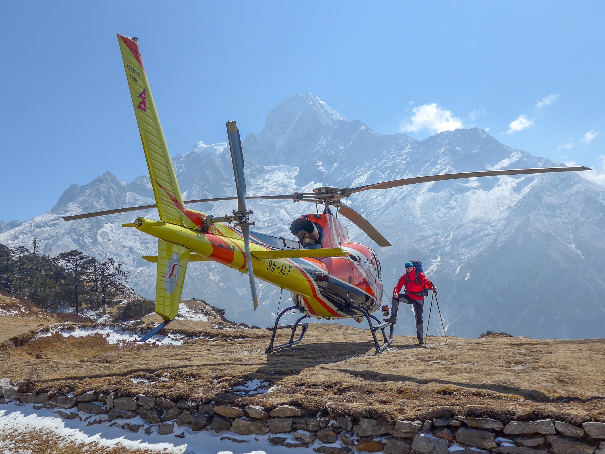
I am a member of Alpenverein and I bought the Alpenverein Expedition insurance for this trip. It is said, that this is the best choice. It is also said that if you travel as an individual traveler and you are injured, you would have to pay 4 000 USD cash for transport when the emergency helicopter comes for you. If you use some services of some local trustworthy operator (Sherpa Adventures) you do not need this money. Take all pills, drugs and ointment with you, nobody will help you there. And... follow the acclimatization rules.